
Delamar, Nevada
Categories: Nevada
West of Gunlock, Utah is a huge area of desert empty of paved roads for about 3,600 square miles. But there are a ridiculous number of dirt roads twisting across that vast expanse. Along those roads are quite a few historical areas of interest. I’ve made at least half a dozen trips out there and posted about them already; places like the ghost town of Carp, the remote Bullhead Valley, Pine Park, Beaver Dam State Park and even Welcome Springs. With so many trips in the area under my belt I felt comfortable enough to make a traverse of the entire region and link together a number of places i still had yet to see.
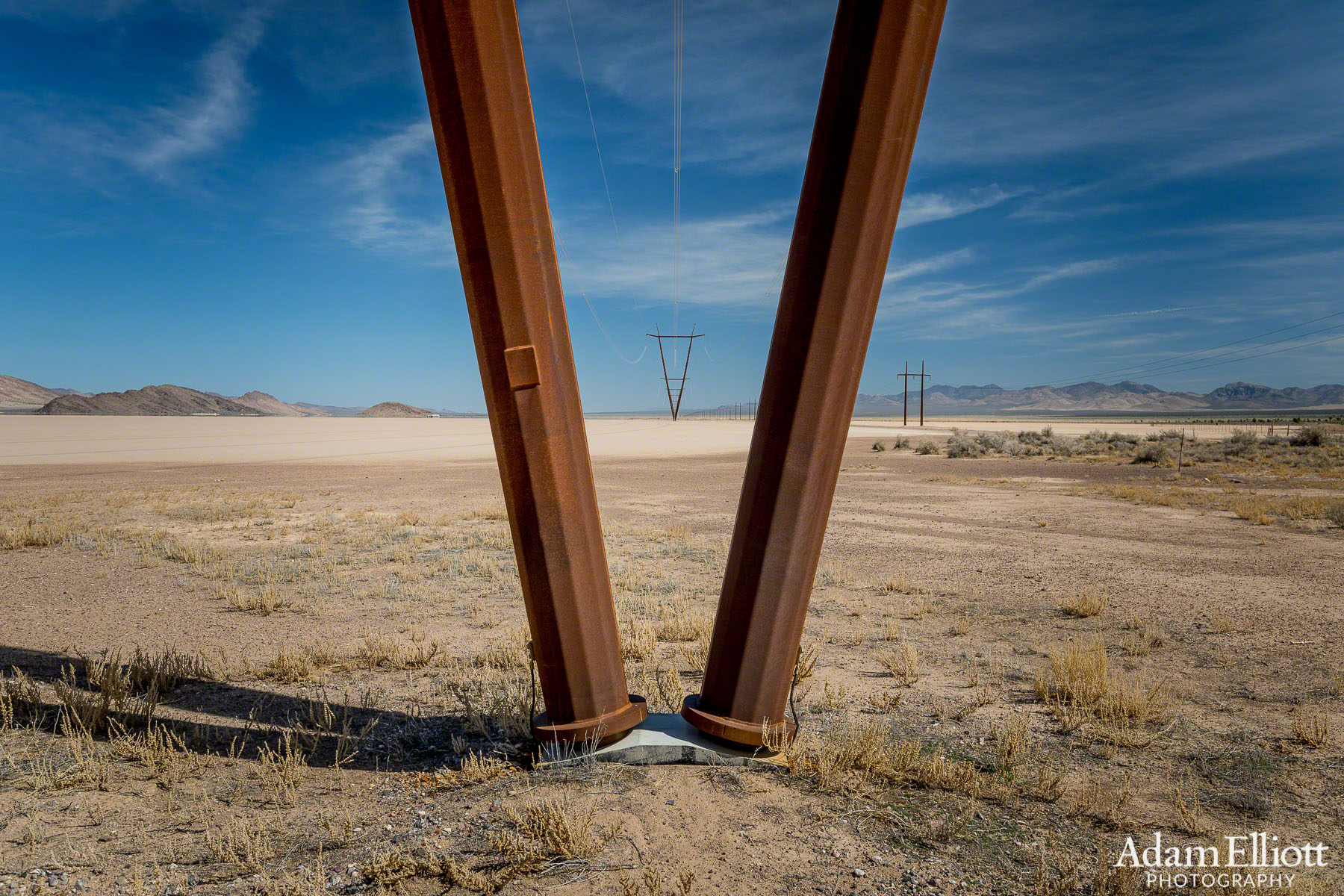
My first stop was Delamar Dry Lake so I started way over by Pahranagat National Wildlife Refuge along the Great Basin Highway in Nevada and took a power line road to the lake. The lake has a very notable history. In 1962 Neil Armstrong damaged an F-104 Starfighter attempting a test landing on the lakebed. Most recently, in 2015 the lake earned a Guiness World Record for the largest tire track message ever created as a stunt by Hyundai to send an “I love you” to the International Space Station from the daughter of one of the astronauts on board. It’s a cool video!

This is not motivating, unless you love powerlines or you are a Raven looking to build a nest.
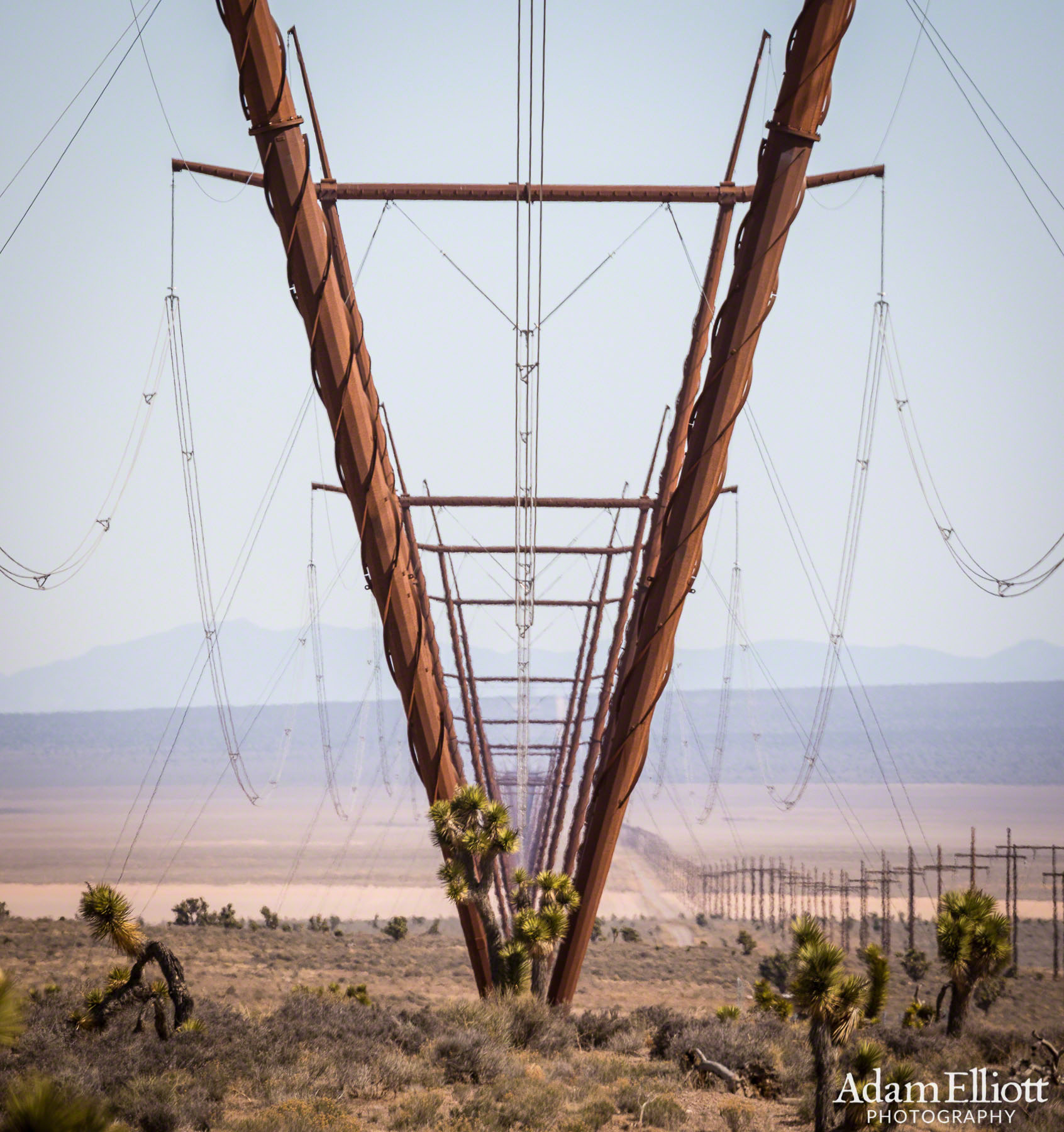
At least they were cool powerlines. The weird corkscrew effect made them shimmer even more in the distance.
Might as well take some pictures since there’s no end to these things.

Delamar Dry Lake. The power lines made blurry shadows arched across its surface. In the distance some guys were wind sailing. That chocolate hill was where i went next.

On the opposite end of the lake are some faded and damaged petroglyphs. I had to shoo away the cows to get to them. It’s not like i was going to drive past all those power lines and then let cows tell me what to do.
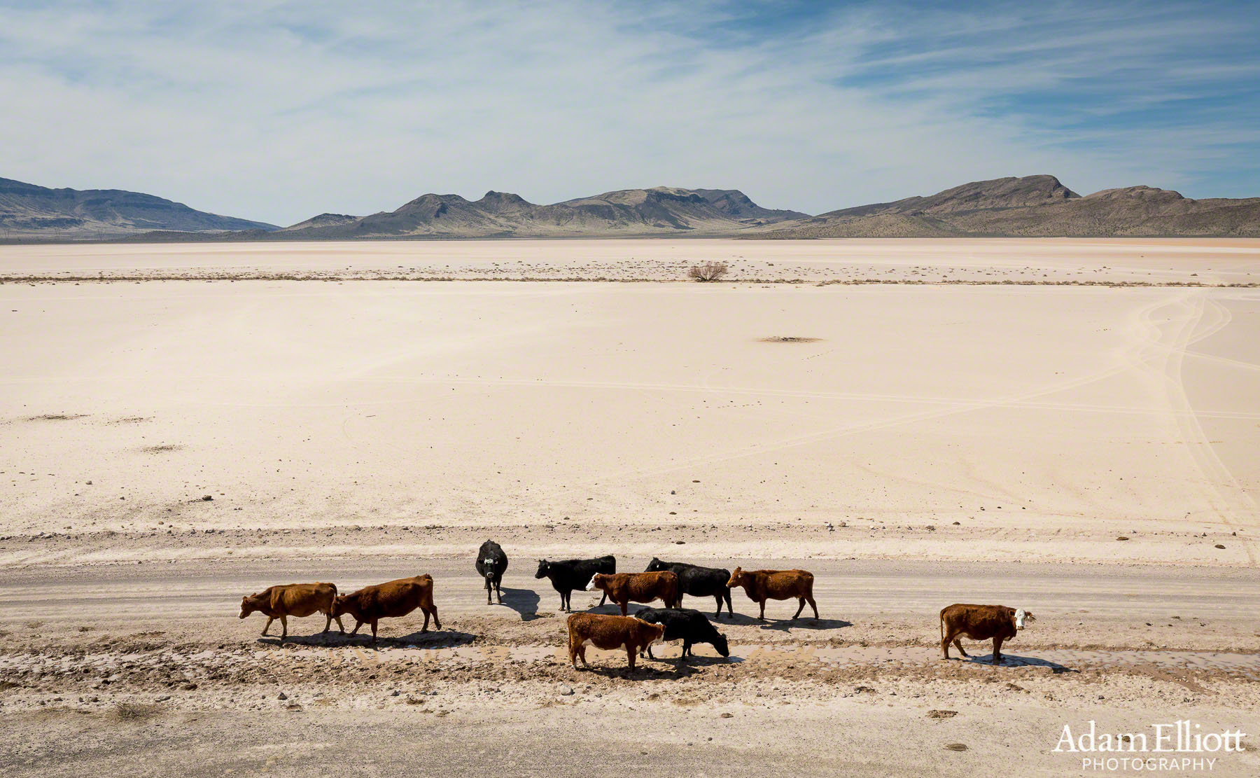
Looking across the lake form above the petroglyphs. I think the cows were hanging out because there was a mud puddle here.It was the only water I saw anywhere untilI got to Elgin. The water seems to be from a spring that is drying out or from a reservoir seeping out from beneath the lake bed. You can tell those morons are still not happy about me being there.
From the lake I took an obscure road up to Delamar Mine. Delamar was the biggest mine in Nevada in the late 1800’s and had a population of 3,000 people, a newspaper, post office and even an opera house. Now there is just garbage and crumbling walls. There are miles of mine passages beneath the mountain. I spent a couple of hours in Delamar and exploring the hillside full of mines above the town. It really is a very large site. I ran out of time well before I could see all of it.

The remains of Delamar visible beyond the Joshua Trees. The whole barren hillside on the left is part of it and the site even winds around the back side of that hill.

Main street. These buildings were businesses.


There is a tremendous amount of garbage where the residential houses were. Many of the cans were for fish, and I wonder if they may have contained herring that was fished to extinction during that time period.
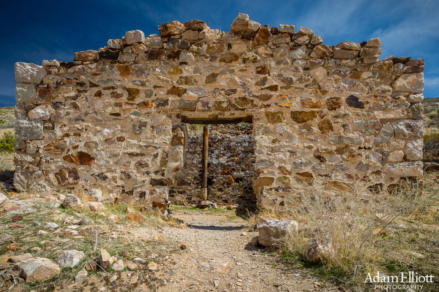
This was the most intact structure I found. It had no roof but did have 4 walls.

Build quality was not high.
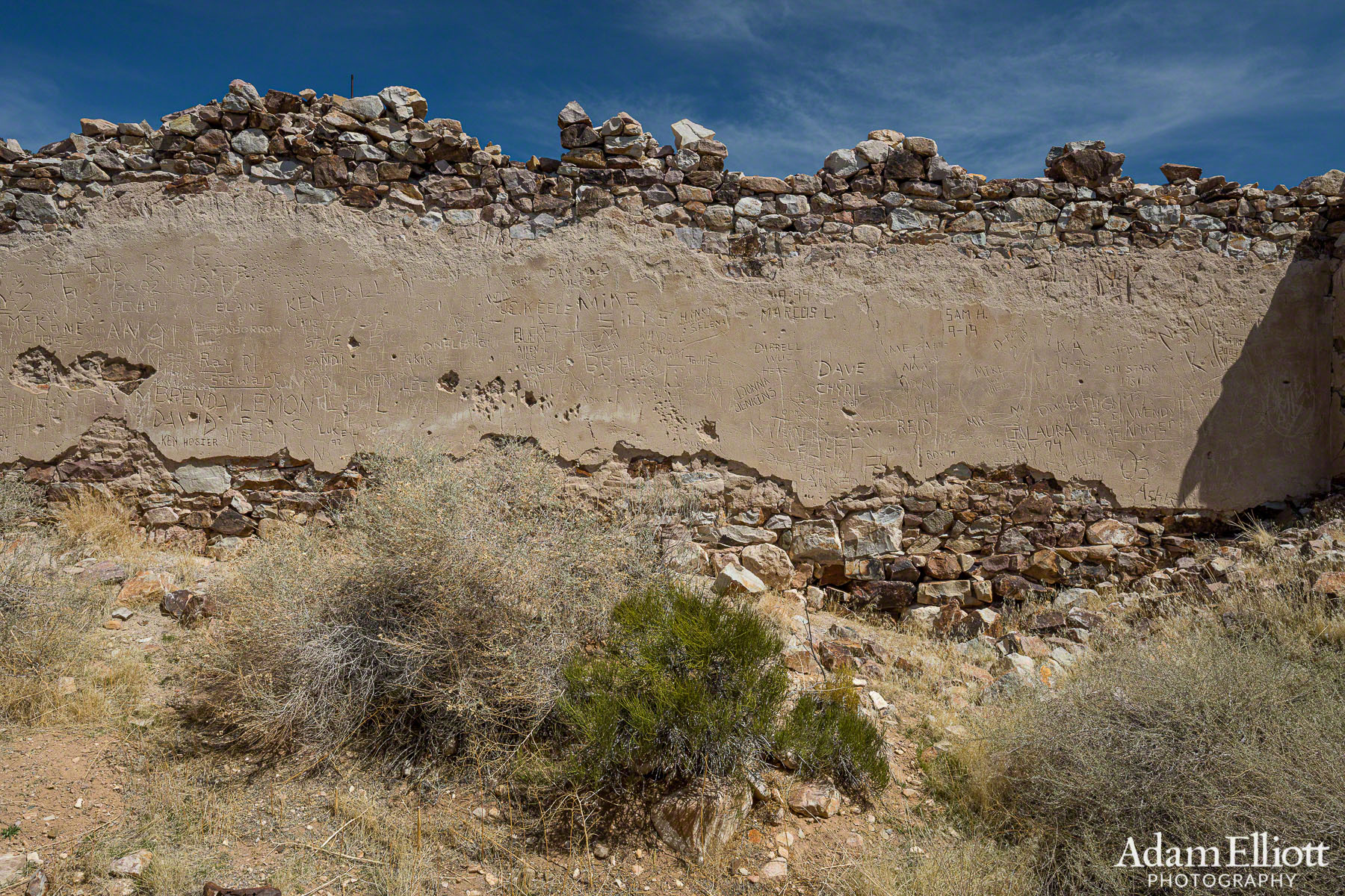
The really nice thing about Delamar was that there was no spray paint anywhere. So while it had engravings where there is leftover wall plaster it still has character.
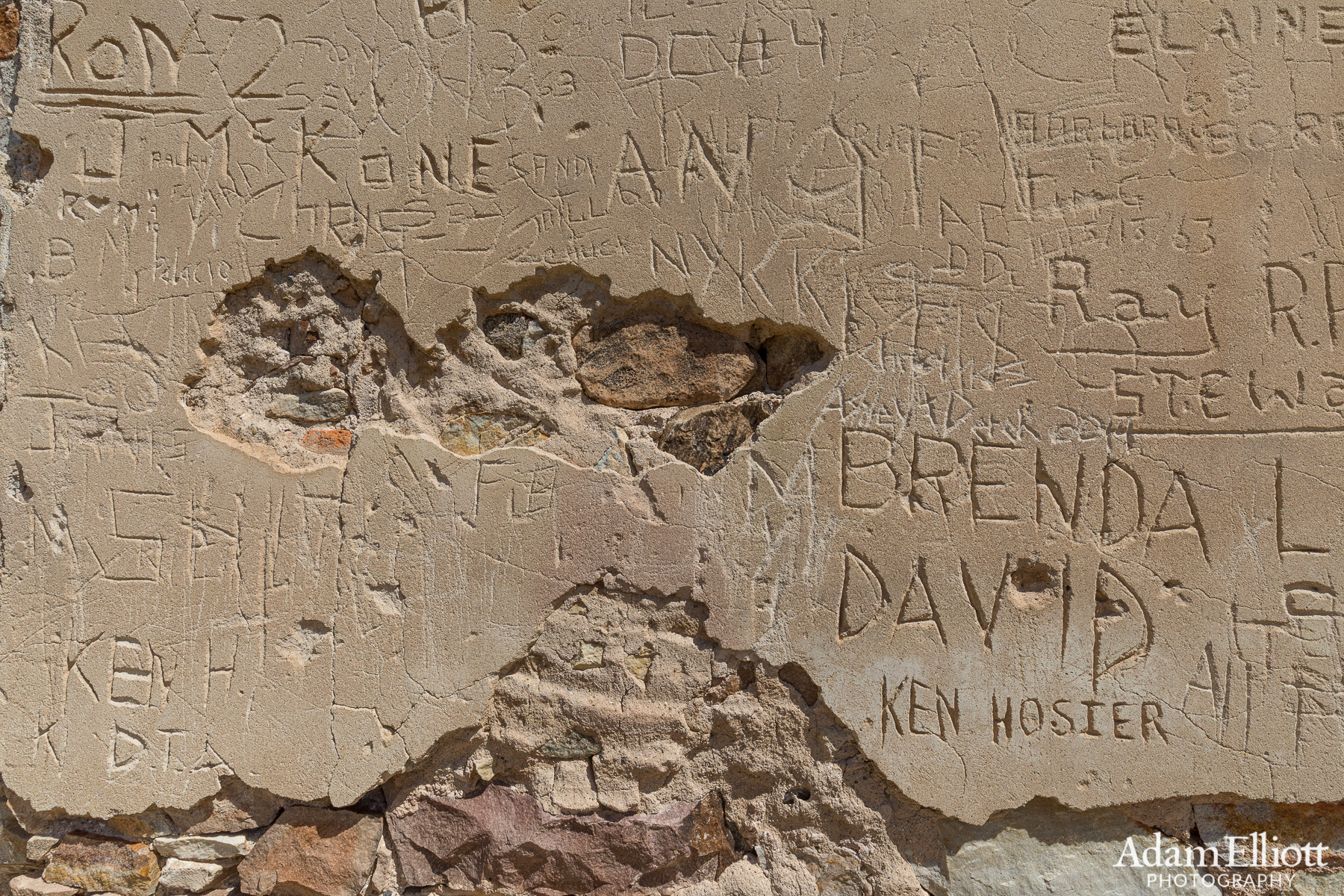
Decades of names. I don’t think i saw anything earlier than the 1950’s.

Looking back at Delamar Lake from the mining operations. While there is nothing left but crumbling walls the townsite still has it’s roads and is large enough you really do need a car to get around. The distant mountain range on the right is the South Pahroc Range. Don’t worry, I never heard of it either (but i bet it’s cool on top).

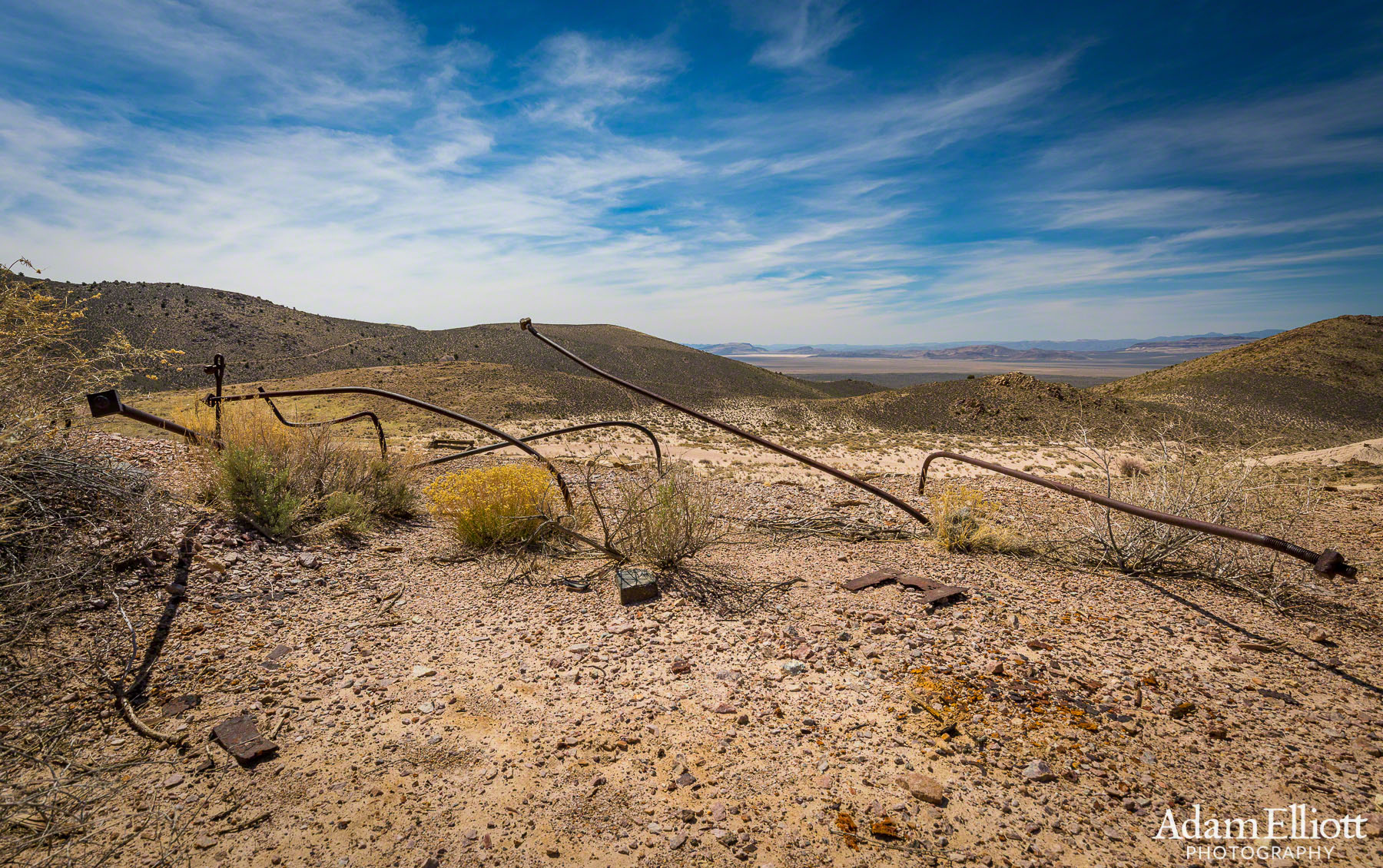
Where the ore ended up coming down the mountain. There used to be a huge building here.

This is a large wall still in pretty good condition. The bricked up archway is intriguing.

This off kilter entrance was directly below the main building. This entrance was closed after a short distance.
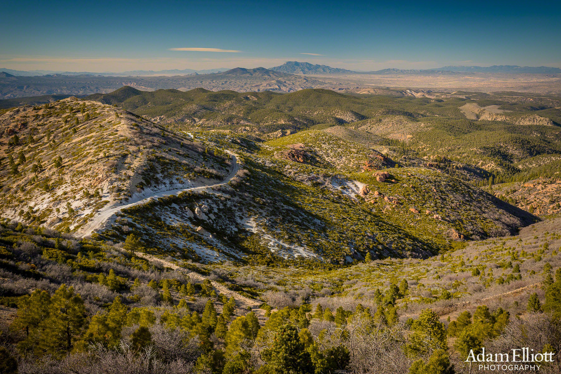
From Delamar I took a road that became to narrow for my 4Runner to another road that apparently is called North Fork Cedar Wash. I worked my way southeast over the mountains to make a brief stop at Elgin Schoolhouse, and then continued on up Pennsylvania Canyon Road. From there I eventually made it up to the summit of Mt. Ella in the Clover Mountains. There’s not much info on the internet about Mt. Ella but it has spectacular views in every direction. At that point it was getting late and I had to do the longest segment, which was driving from there to Motoqua and eventually Ivins. It was a great day and I think about 125 miles of dirt.


There is a pretty cool looking area of large boudlers and scalloped ledges above Rainbow Canyon. The picture on the left you can see the canyon cutting across the scene and on the far right near the rim is an area of rocks. The right image is very zoomed in with a telephoto. To me it looks like it’s worth checking out but I haven’t looked into how to get there.

It was spring in the lower elevations of the Mojave. Some new green cottonwoods over there.

This is an overhead view of the orchard and pond directly across from Elgin.

The section between Elgin and Ella Mountain was sometimes easy and scenic, like here, and sometimes rough and boring. For part of it you drive up a dry streambed.

Much later! Infrastructure near the top of Ella Mountain.
From the fire lookout, looking north towards Caliente.

Looking south towards Mesquite.

Looking East towards St. George.

In the Clover Mountains Wilderness. I have been through the area in the in the distance but my maps showed the road to get there as being poor. The fantastic switchbacks suggest otherwise but it was too late in the day for unknowns. I still had about two hours of driving to do and an hour before sunset.

Some shedding Elk. Less than a mile from these females was a group of large males standing in the middle of the road. I didn’t get a shot of them.

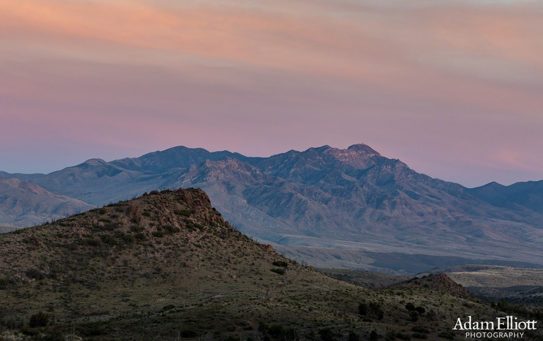
The Bull Valley Mountains at sunset. This part of the drive is insanely twisty.
Finally in sight of the Beaver Dam Mountains. My part of the neighborhood! It was a long but great day.