Zion: Kolob Terrace Traverse
Categories: Zion
Last year I kept going to an area of Zion that I thought was really interesting but also very time consuming to figure out how to get through. After several trips I got a little obsessed with trying to put together a route from Wildcat Canyon trailhead to Lambs Knoll. The high cliffs south of Pine Valley Peak lead to a maze of hoodoo islands that get tantalizingly close to the Left Fork.
The route, as it works in my head, is 5 sections. The first section I wrote about as Pine Valley Peak. The second section I wrote about here as Highlands of the Kolob Terrace. There was another trip I made that didn’t get me where I wanted but it did forge enough of a route that on the 4th and final attempt I suckered a friend into going with me so that we could use two cars if we made it all the way. This fourth attempt wasn’t easy and we had some problems but after a long day we were right across the street from Lamb’s Knoll.


The hike starts in the pine forests below the lava cap at Wildcat Canyon trailhead.

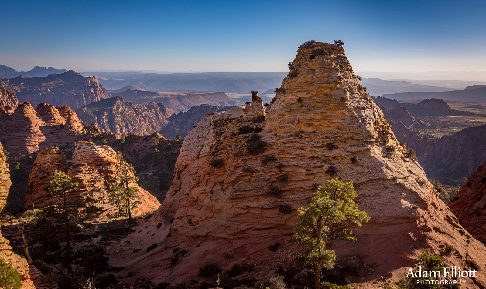
After progressing past Pine Valley Peak the route enters the isolated highlands area.

The highlands are an amazing maze of spectacular rock formations. I covered this area previously but i’m throwing some new pictures on this post.


Leaving the highlands maze is tricky. I tried 3 or 4 different routes but only found this one. Ironically I had looked at the correct way down on my first attempt but it looked to0 steep. While steep, it’d doable with some awkward upper class-three downclimbing for maybe 200 feet. Leaving the highlands isn’t really what you want because across a small valley is another fortress of high hoodoos to contend with. That was our next goal, to see if we could get through there. I had been before but ran out of time before I could look around.
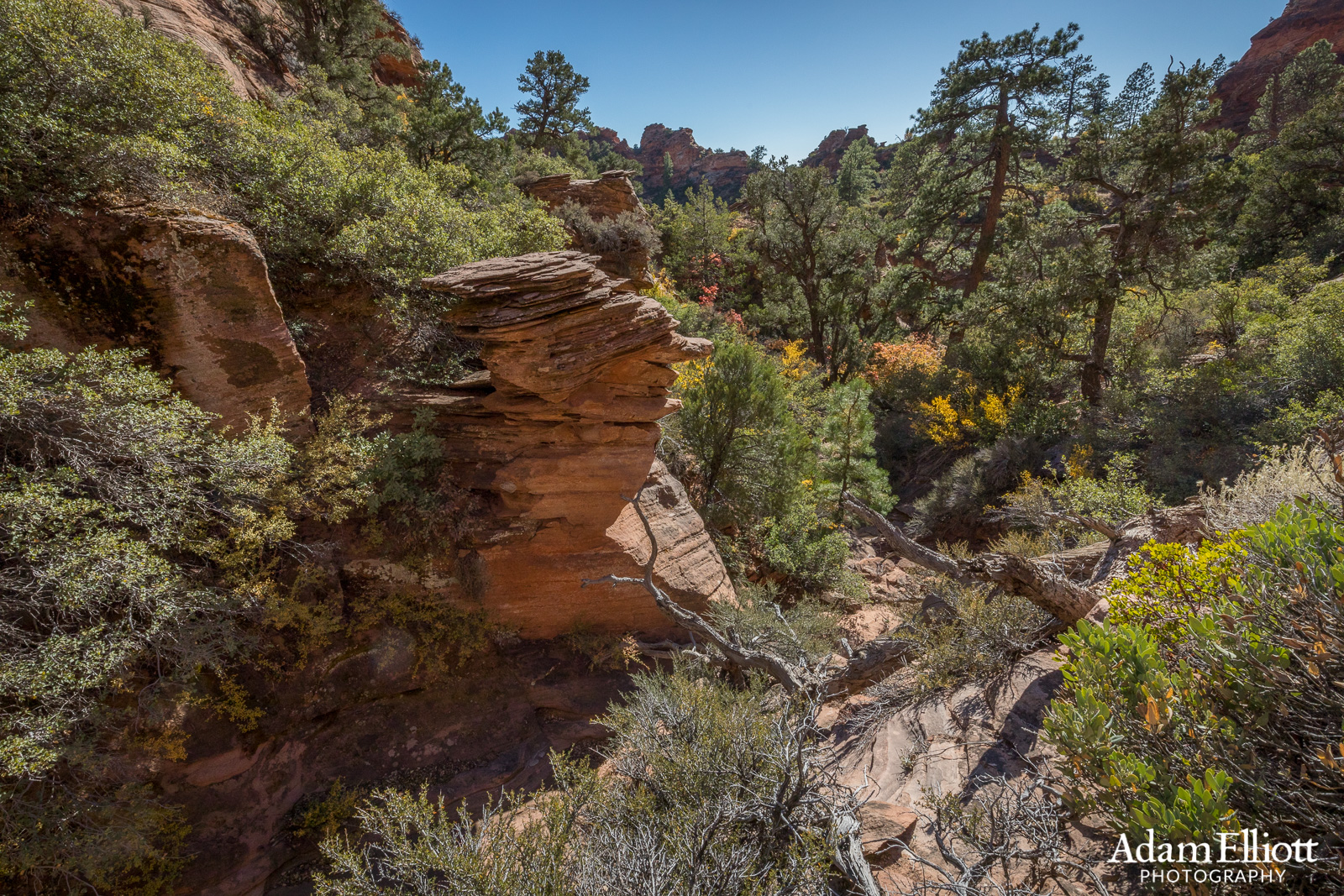
The bottom of the downclimb spits you into a brushy wash.


It’s brushy! I find it preferable to climb up higher and maintain the cliffs.

Back up on the ridge approaching the second fortress maze.

Up on top of the hoodoos we discovered a network or hidden valleys. We used energy on a few different leads but everything ended in high cliffs.

Looking back at the highlands. We had come straight down the steep triangular shadow area in the middle. Seeing it from this perspective it’s now obvious that was the only way to go.

We had been walking along the top of these cliffs all day and now we were near their endpoint. We needed to get down, cross that valley far below, and then climb over the next set of cliffs. On the other side of those is Cave Valley, which leads to the road. It was still quite some distance and we didn’t know how to get off the cliffs.

We didn’t have any luck in the hoodoo fortress. We descended back down into the brushy valley and started working our way around the east side of the complex, checking out canyons that looked promising.

Finally we made it through the cliffs. We were running out of options.

Alan is looking for a way off the last overhanging cliff.

Under the cliff was a dripping seep spring.

It’s me! Photo by Alan Holben Photography.We were relieved to be through the cliffs and had a nice view out towards Cougar Mountain. I decided I would need to go there, too. The ridge on the right is Behind the Tabernacle. Below here is “Little Creek” which begins over by Northgate Peaks.

It didn’t take long to work our way back around the base of the cliffs we had been on top of all day. From here we had to cross Lee Valley and climb over into Cave Valley. That was several more miles.

An intriguing hole in the wall.
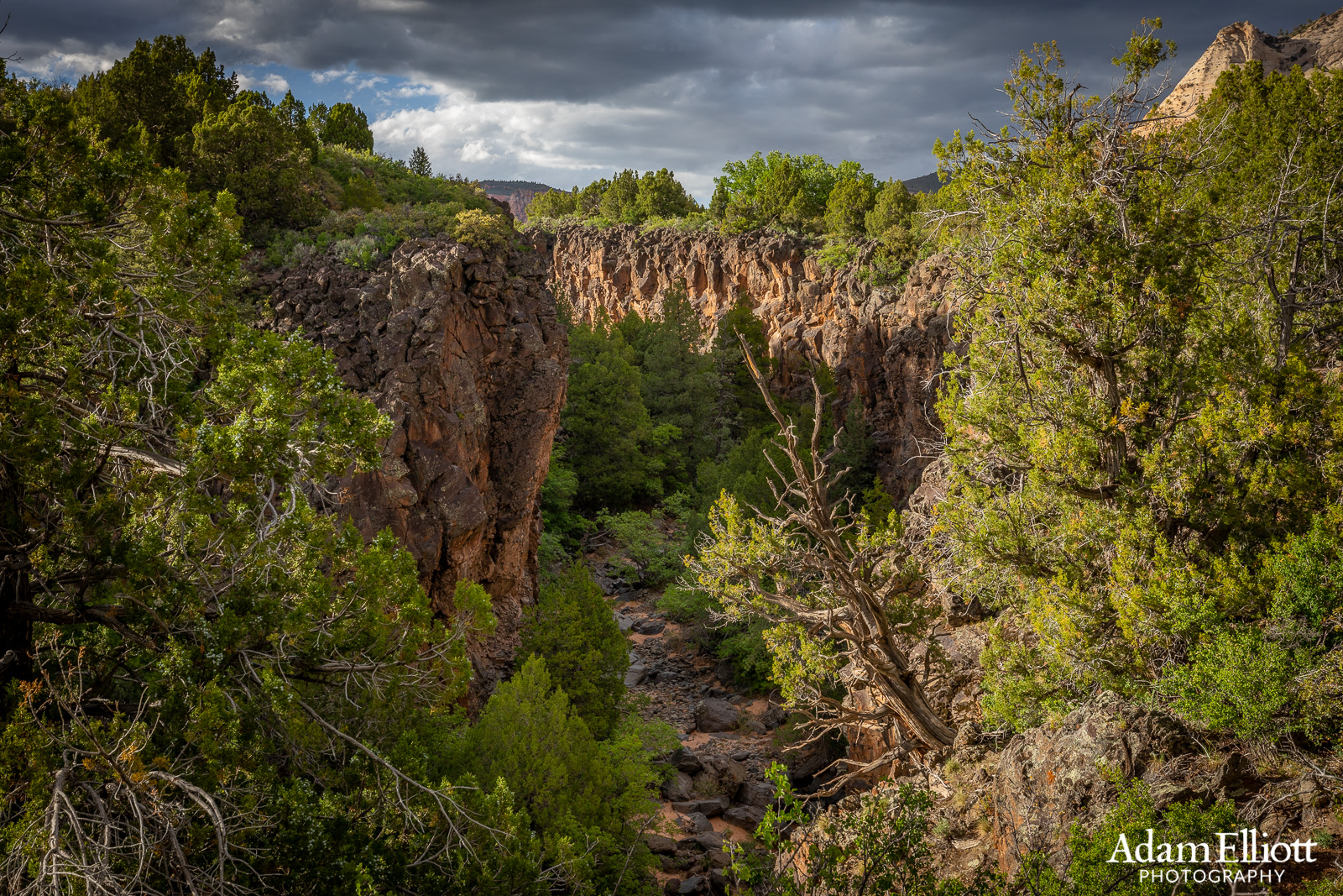
I thought crossing Lee Valley would be a straight shot but halfway across we ran into this hidden lava gorge. It was generally woody, cliffy and crumbly. Especially on the other side. So we had to walk a long way north along the side of it until we found an old cattle road that crossed the bottom.

Looking back ab Pine Valley Peak and the long line of cliffs.