
Paiute Wilderness
Categories: Announcements
The Paiute Wilderness is a small area that ecompasses most of the Virgin Mountains and borders both the Grand Canyon-Parashant National Monument and the Beaver Dam Mountains Wilderness Area. Somewhere high up in the Virgin Mountains is a remnant Pleistocene Forest but other than that there’s not much for me to write about it because there simply isn’t much written about it.
One winter day after a good snowfall I decided to head up a canyon I’ve noticed many times from the interstate. It’s an approach of two miles up an alluvial fan to get to the entrance, but once i was inside I was able to continue at least another two miles up the canyon and possibly all the way to the top of the mountain. Enjoy the pictures.
The weather was perfect.

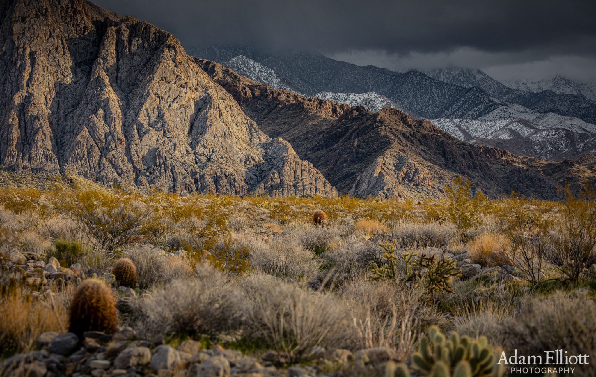
Crossing the major faultline at the base of the Virgin Mountains. It was still a mile to get to the entrance of the beckoning canyon up ahead.


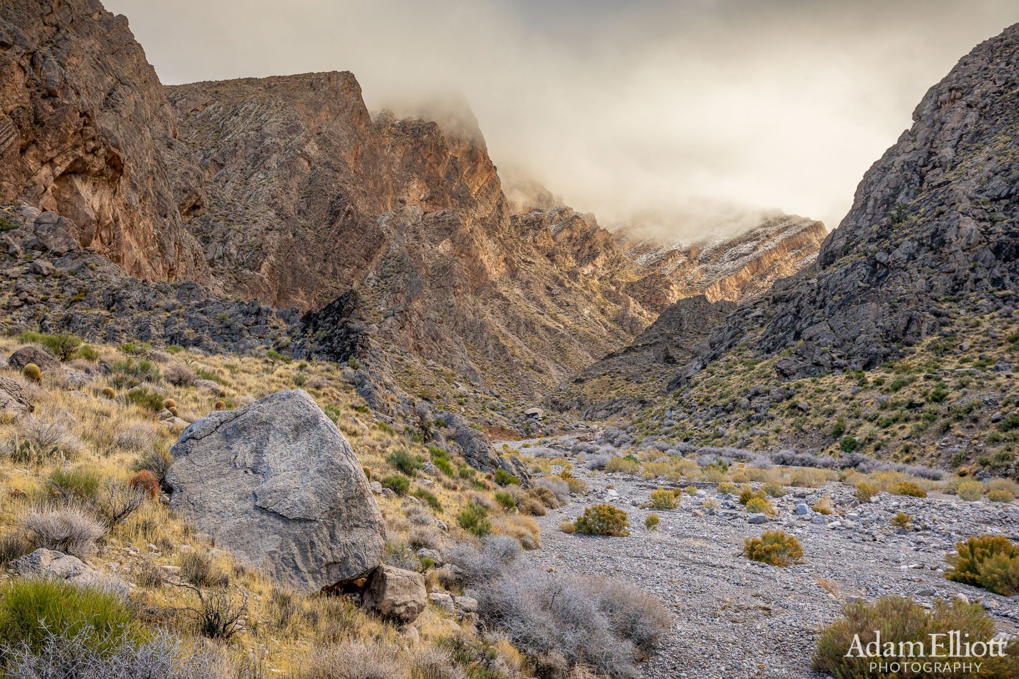
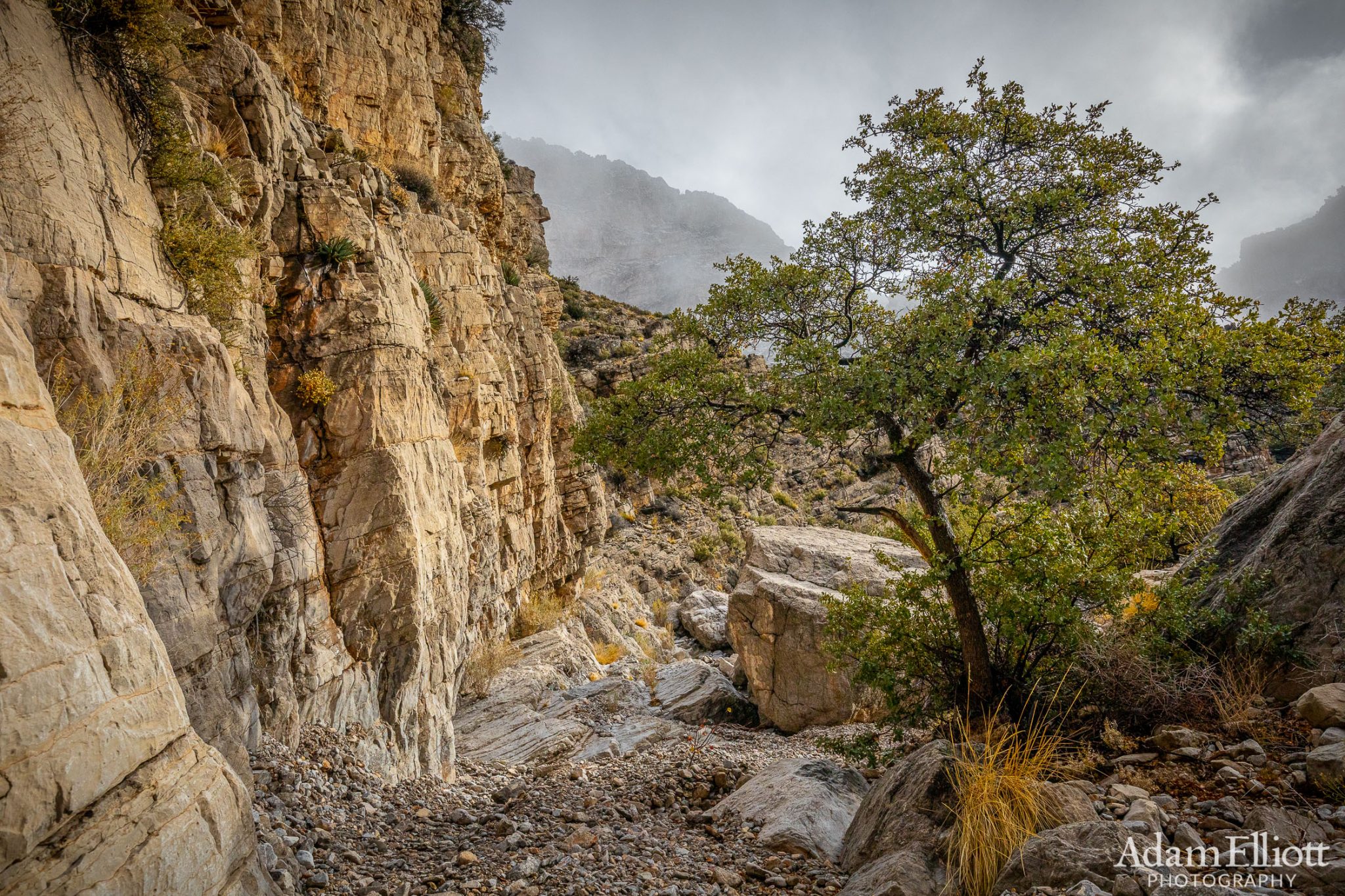
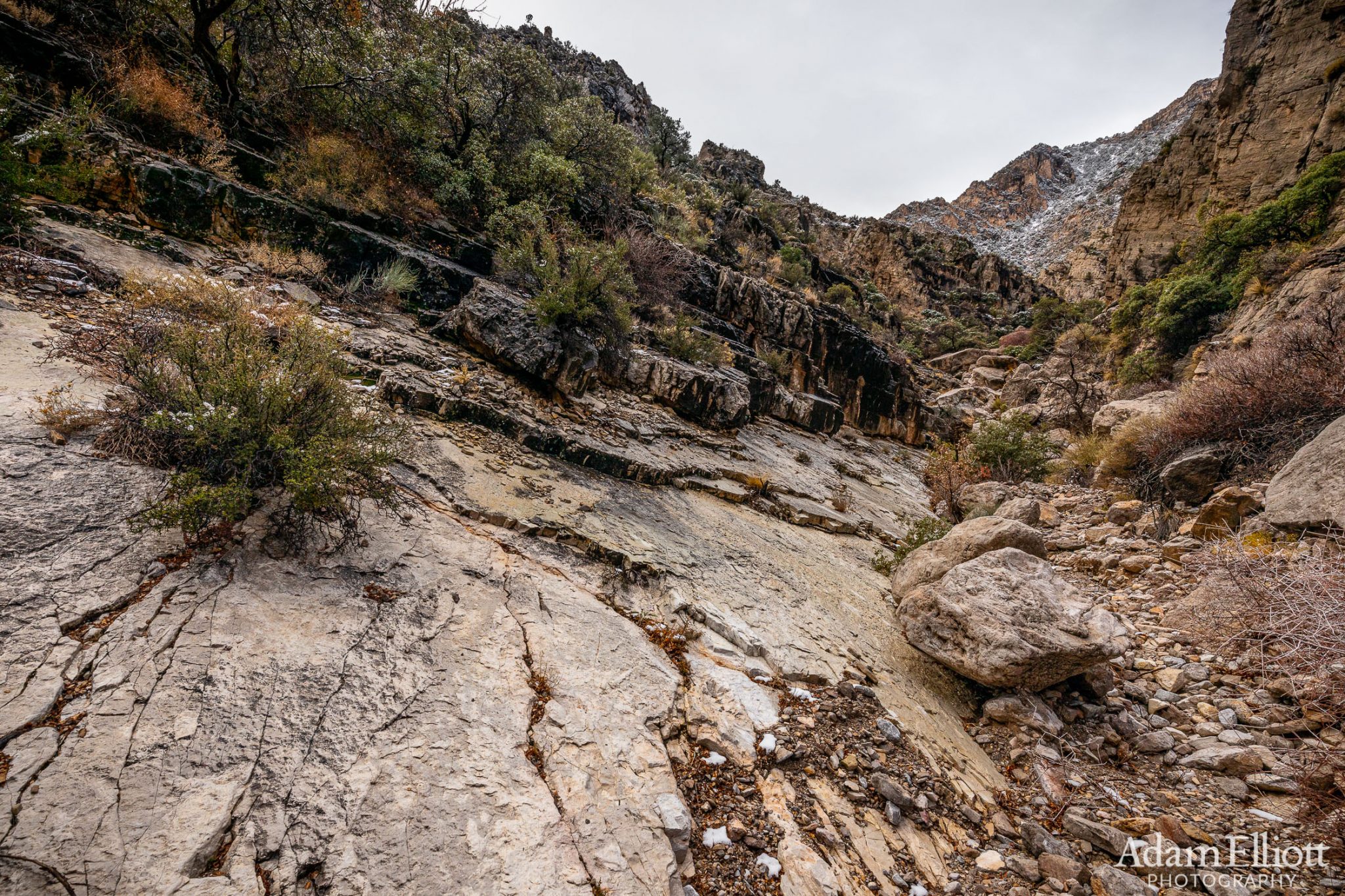
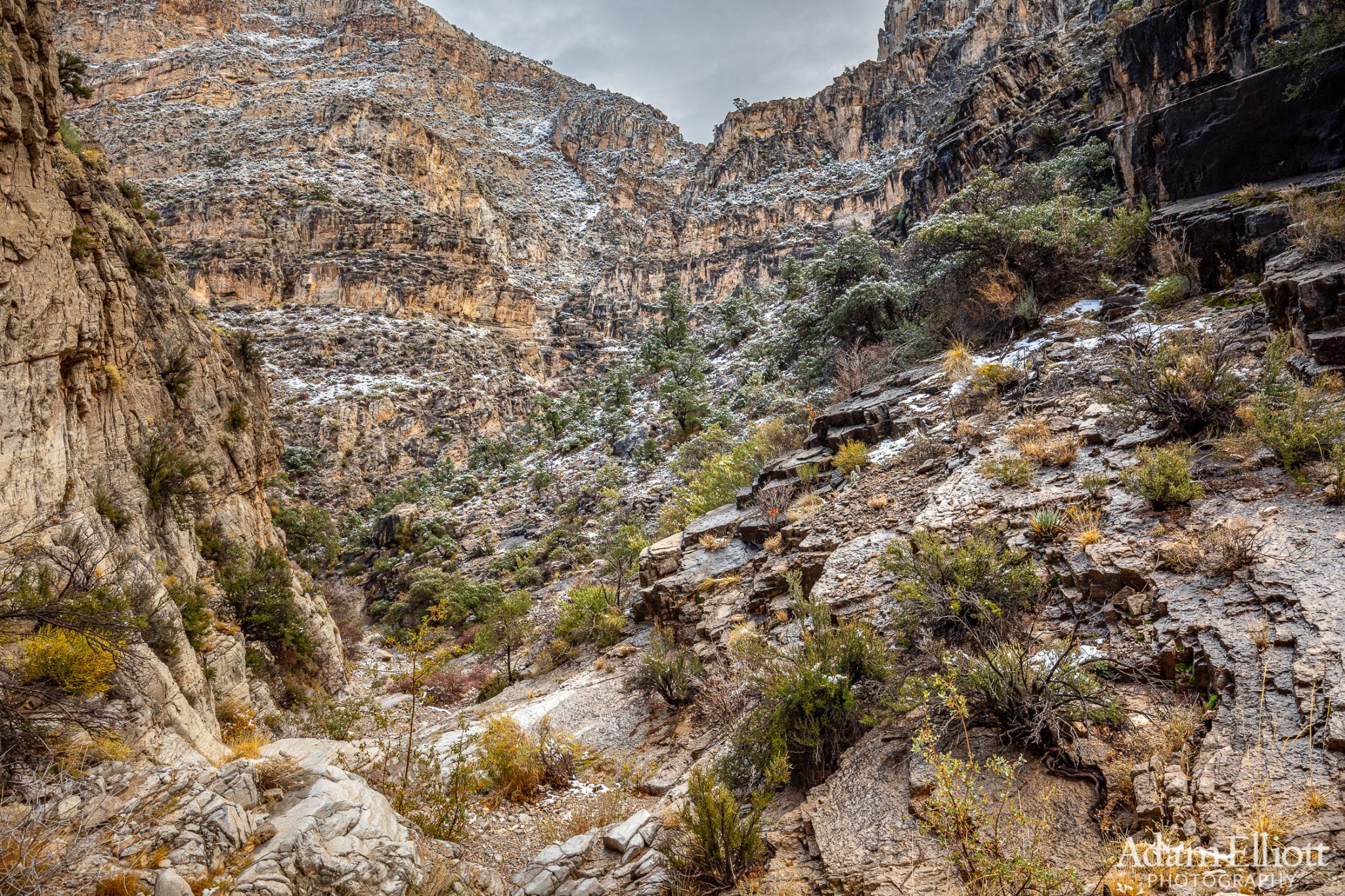
Inside the entrance to the canyon the strata reached into the clouds at an extremely steep angle.
I did not have much of an idea of what to expect so initially i thought i might try for that sloped ledge in the sunlight, on the right, thinking the clouds were breaking up.

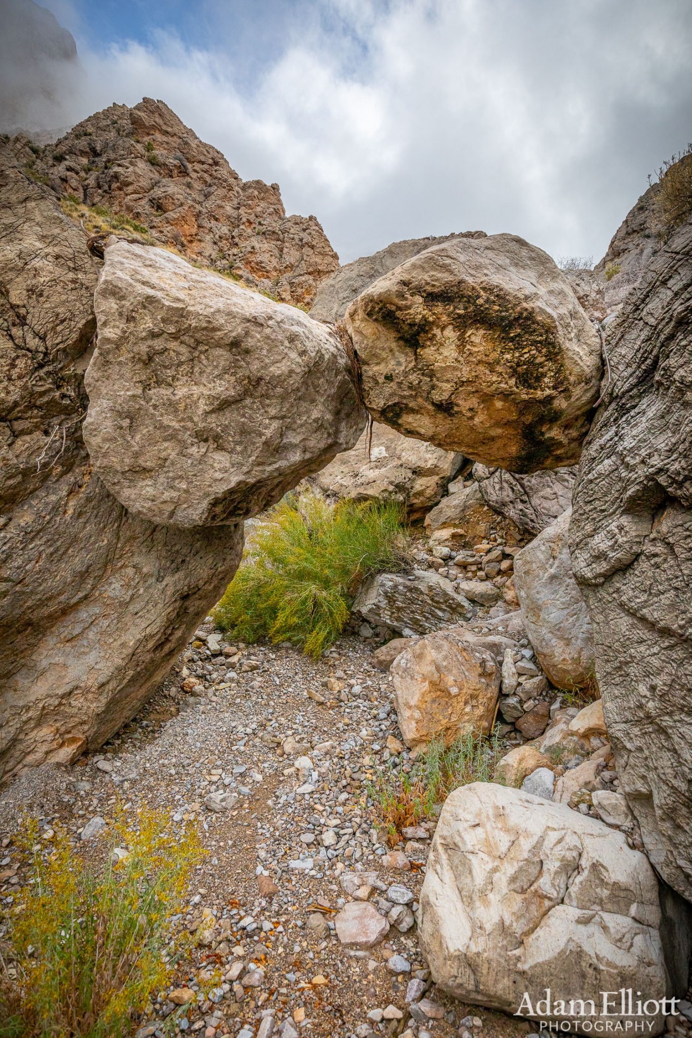
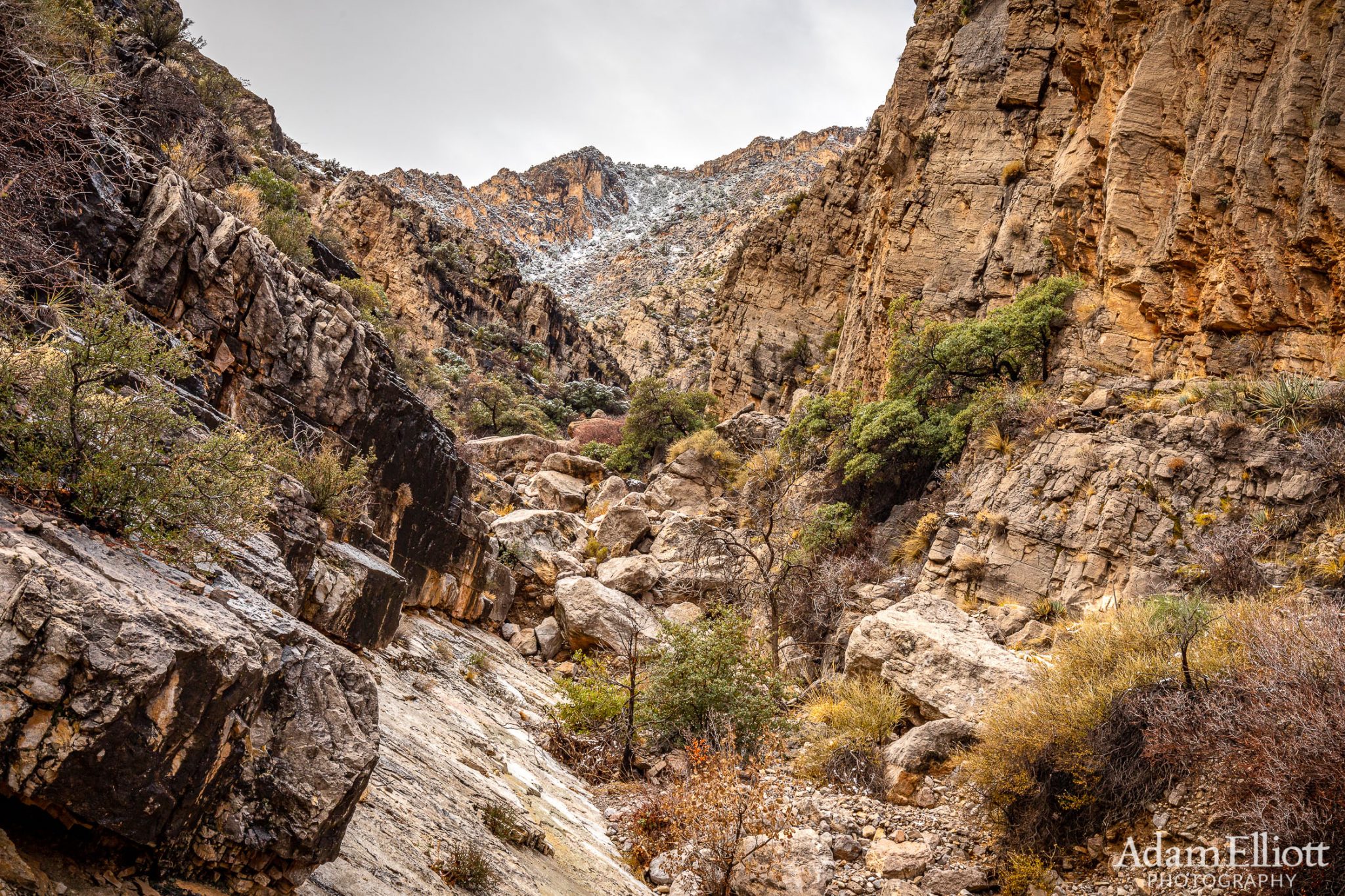
A double boulder bridge. Looked like there was a bit of flood debri on top.


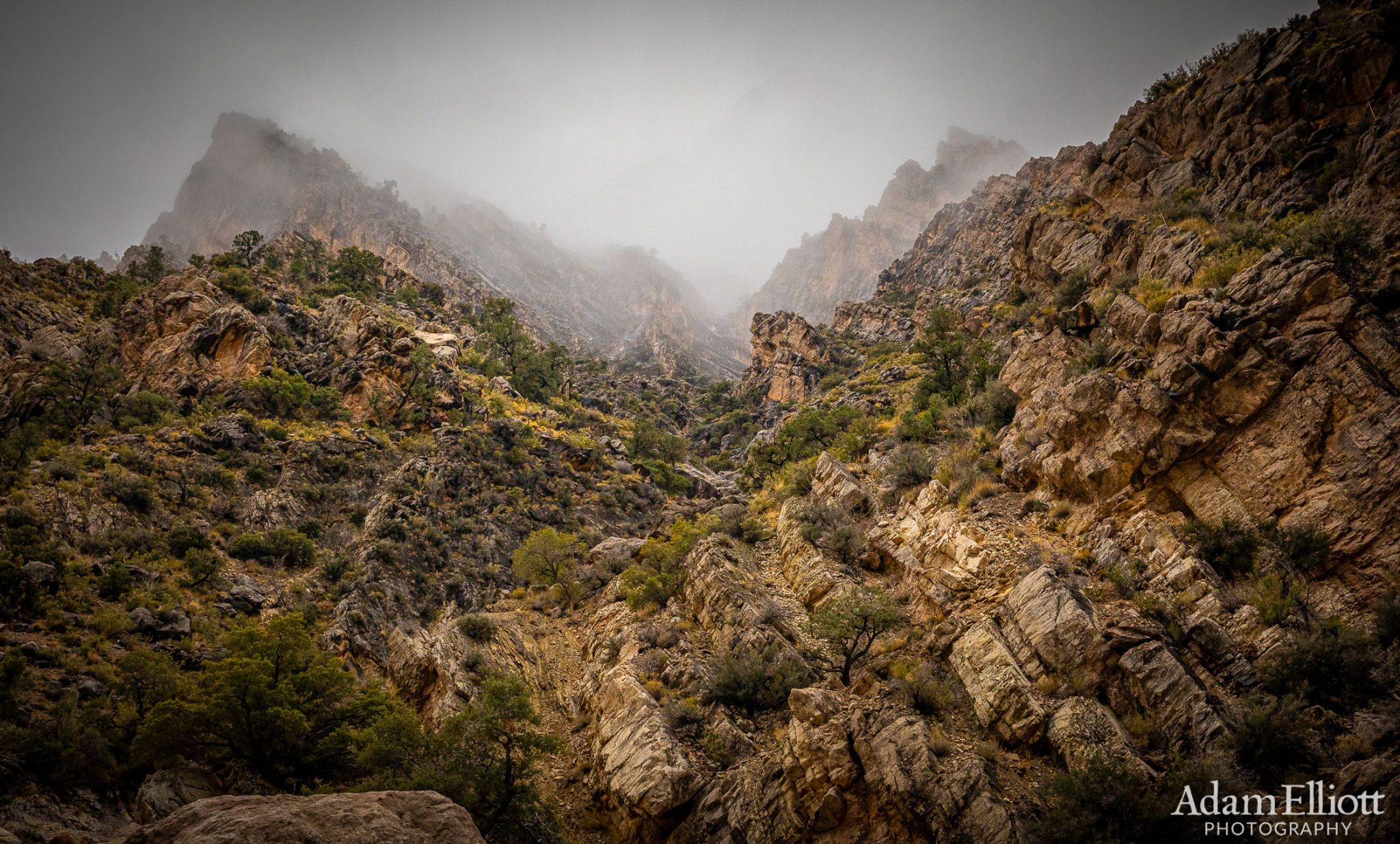
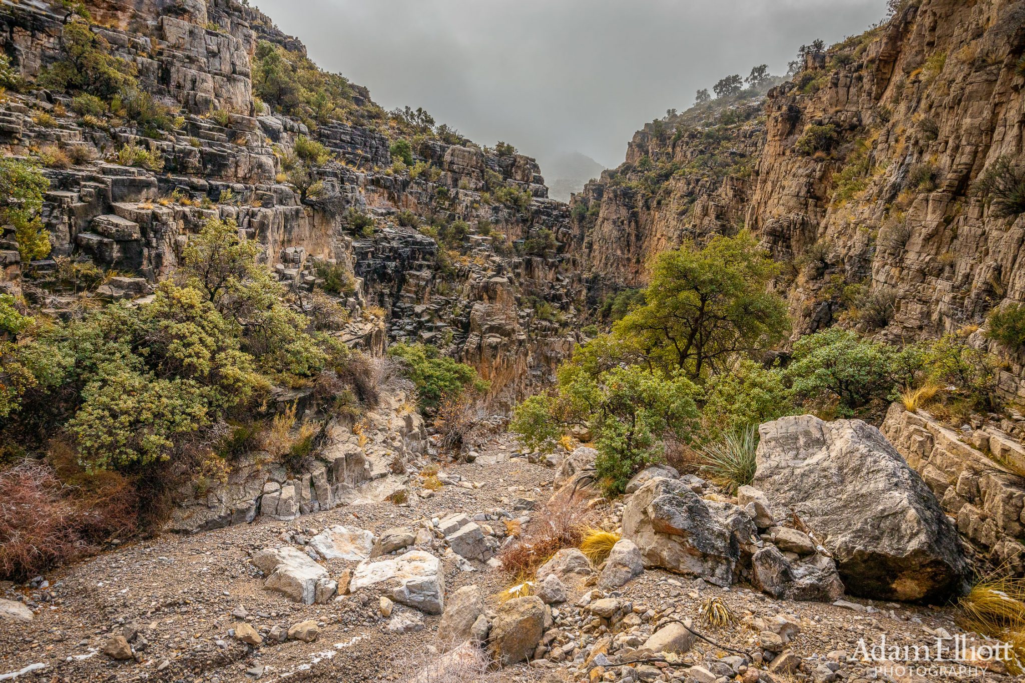
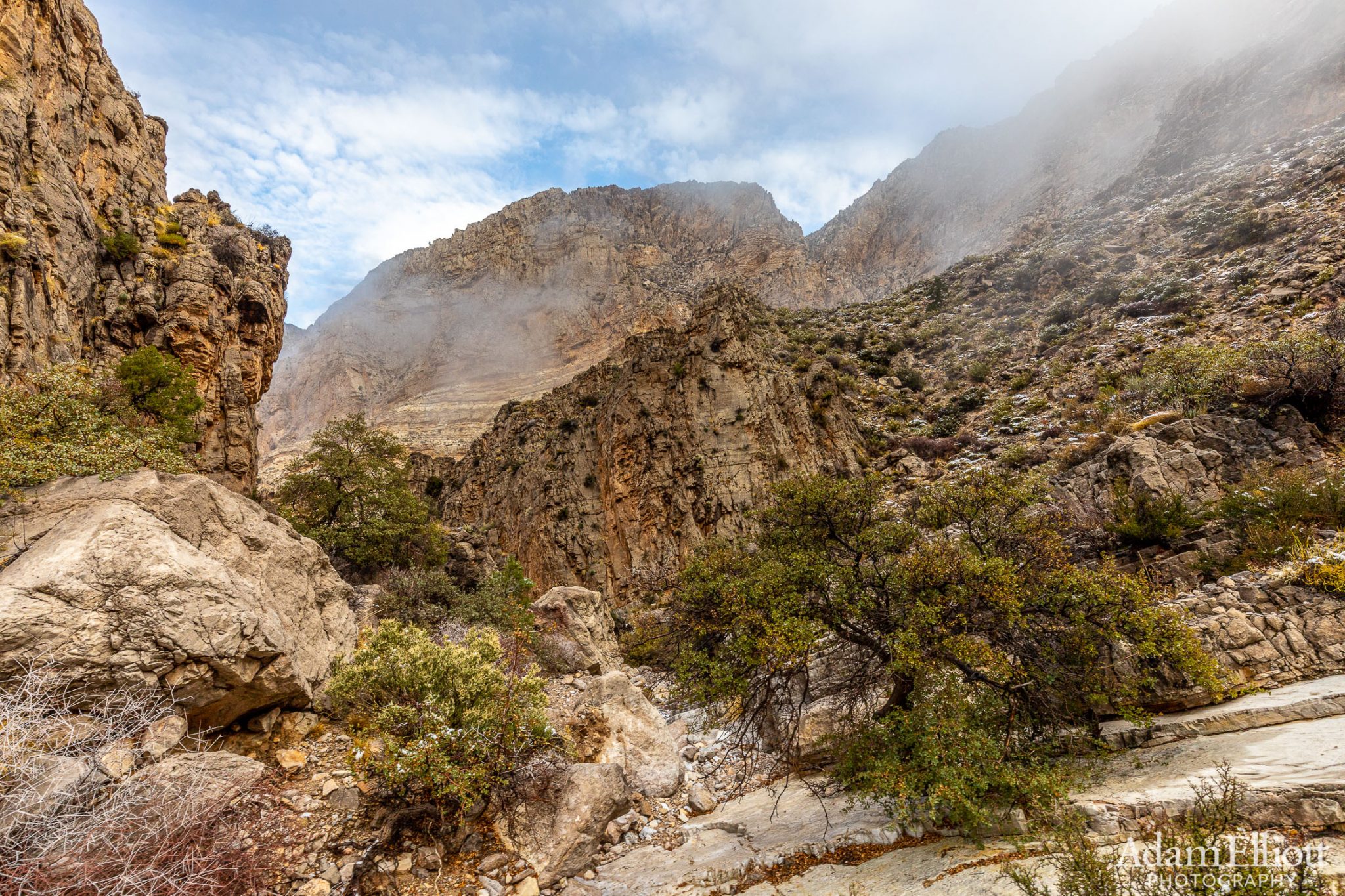
Yet another ominous but exotic side canyon. I’d love to go up one of these on a return trip.

There wasn’t a trace of flat ground in this one.
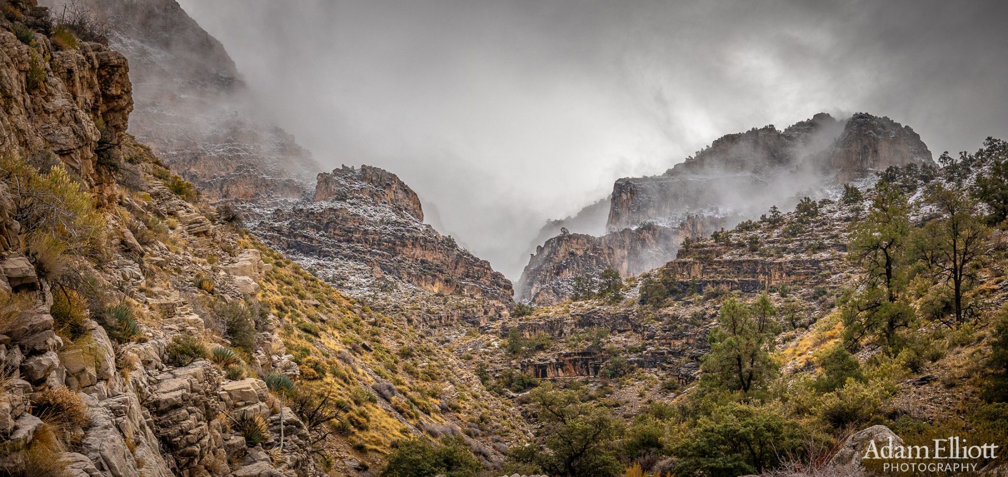
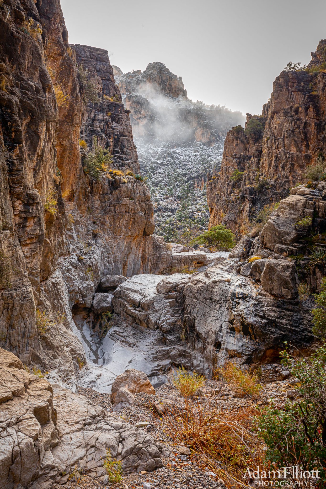
A fantastic scene that suddenly revealed itself. After being in a relatively narrow gorge for so long it seemed crazy for the landscape to be opening up in front of me as i went higher. I could see as I kept moving that it was breaking into three tributary canyons and i was going to have to make a choice about which one to take without being able to see up through the fog.
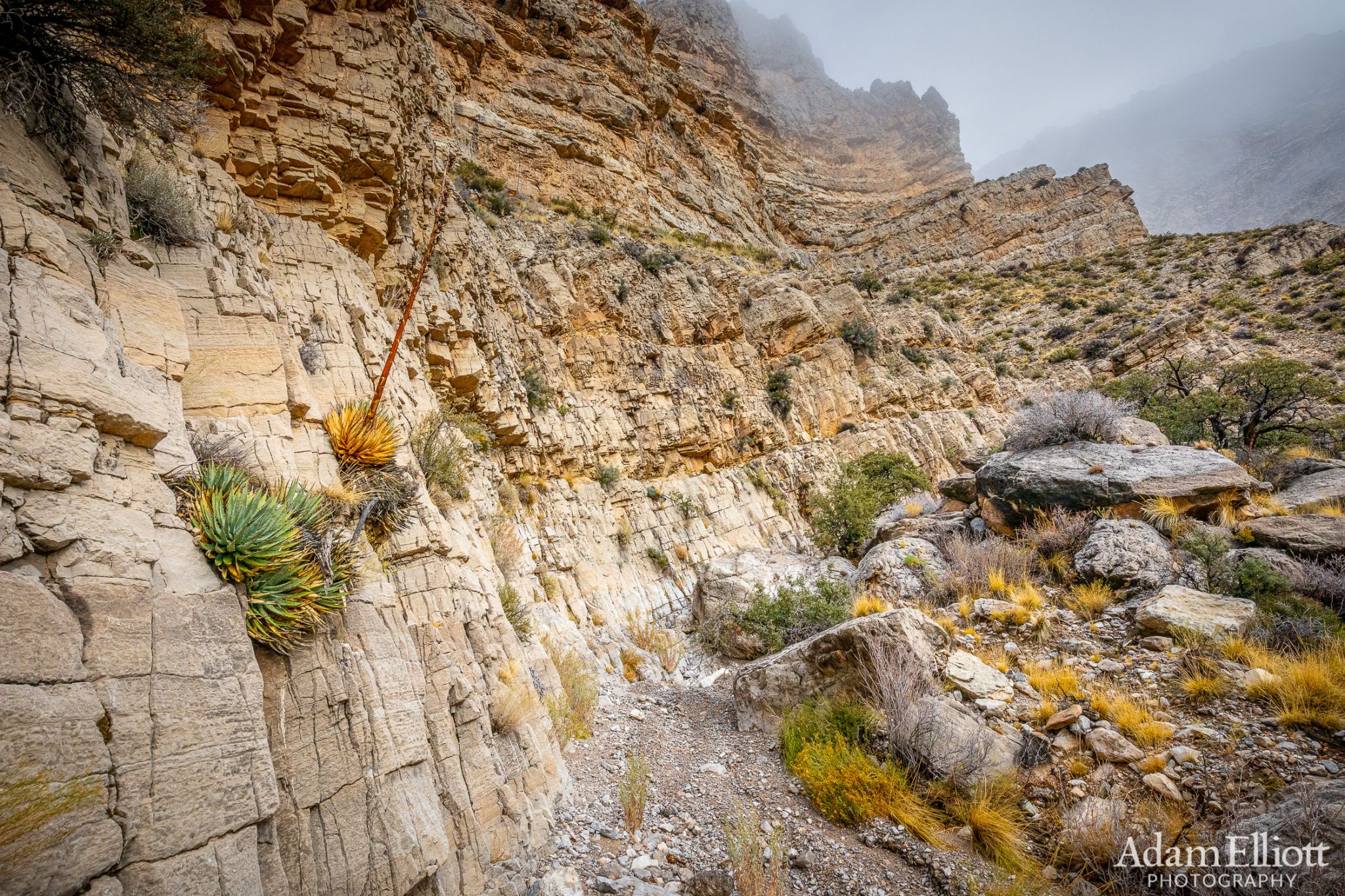
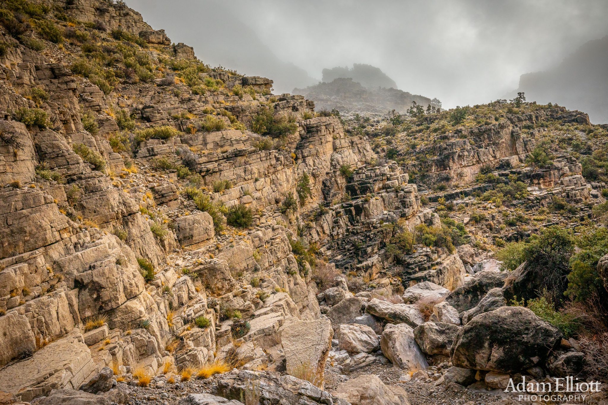
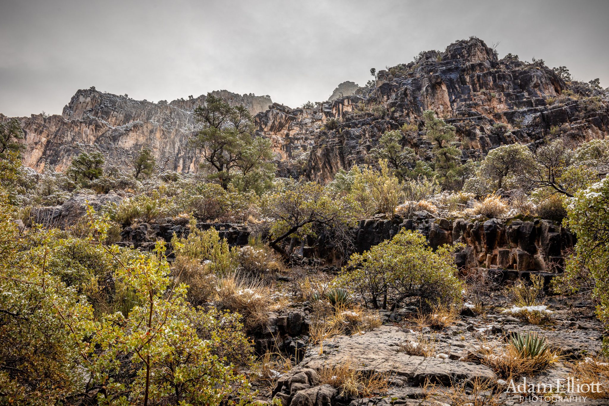
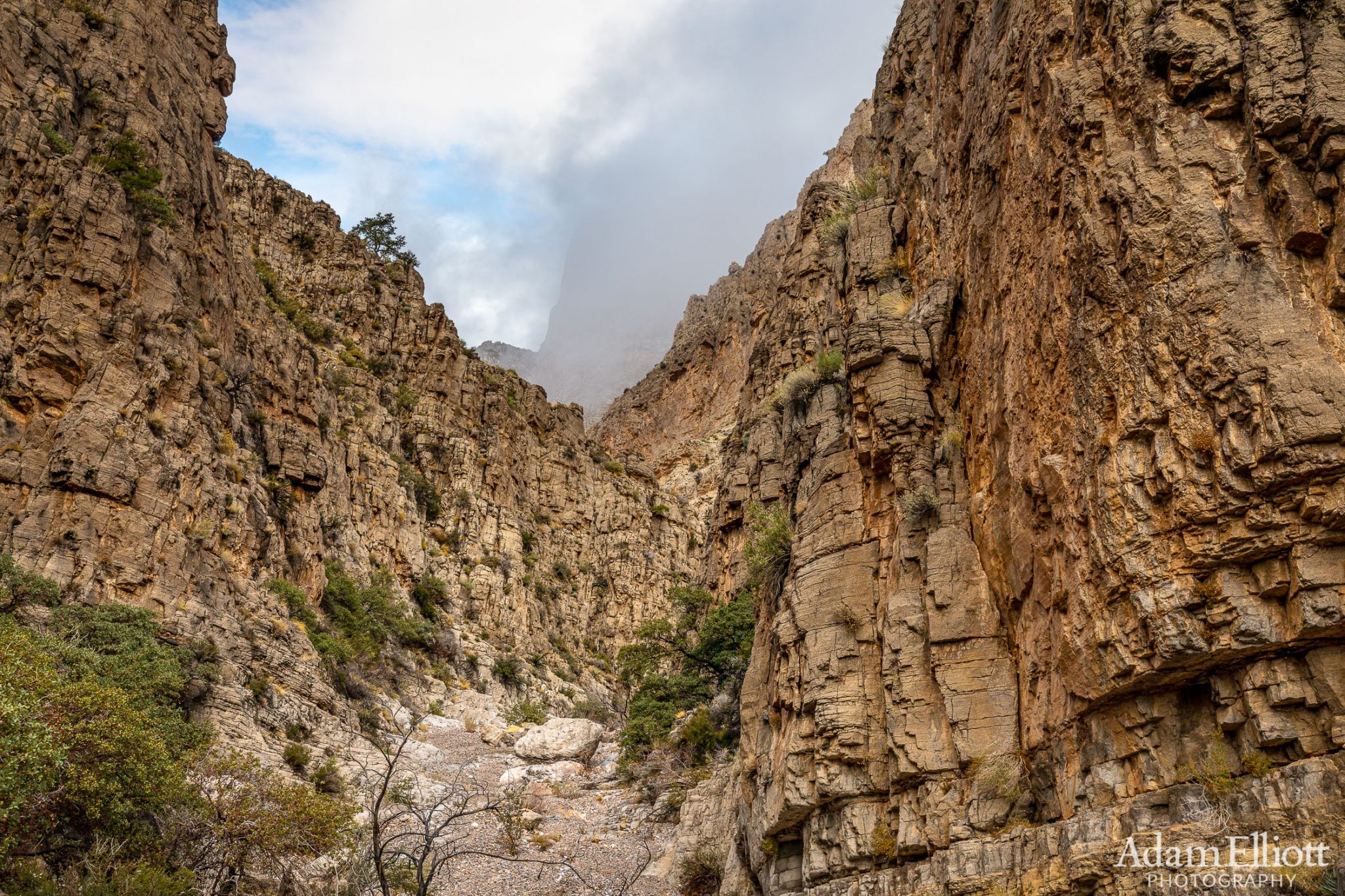
The strata on the west side were starting to relax.

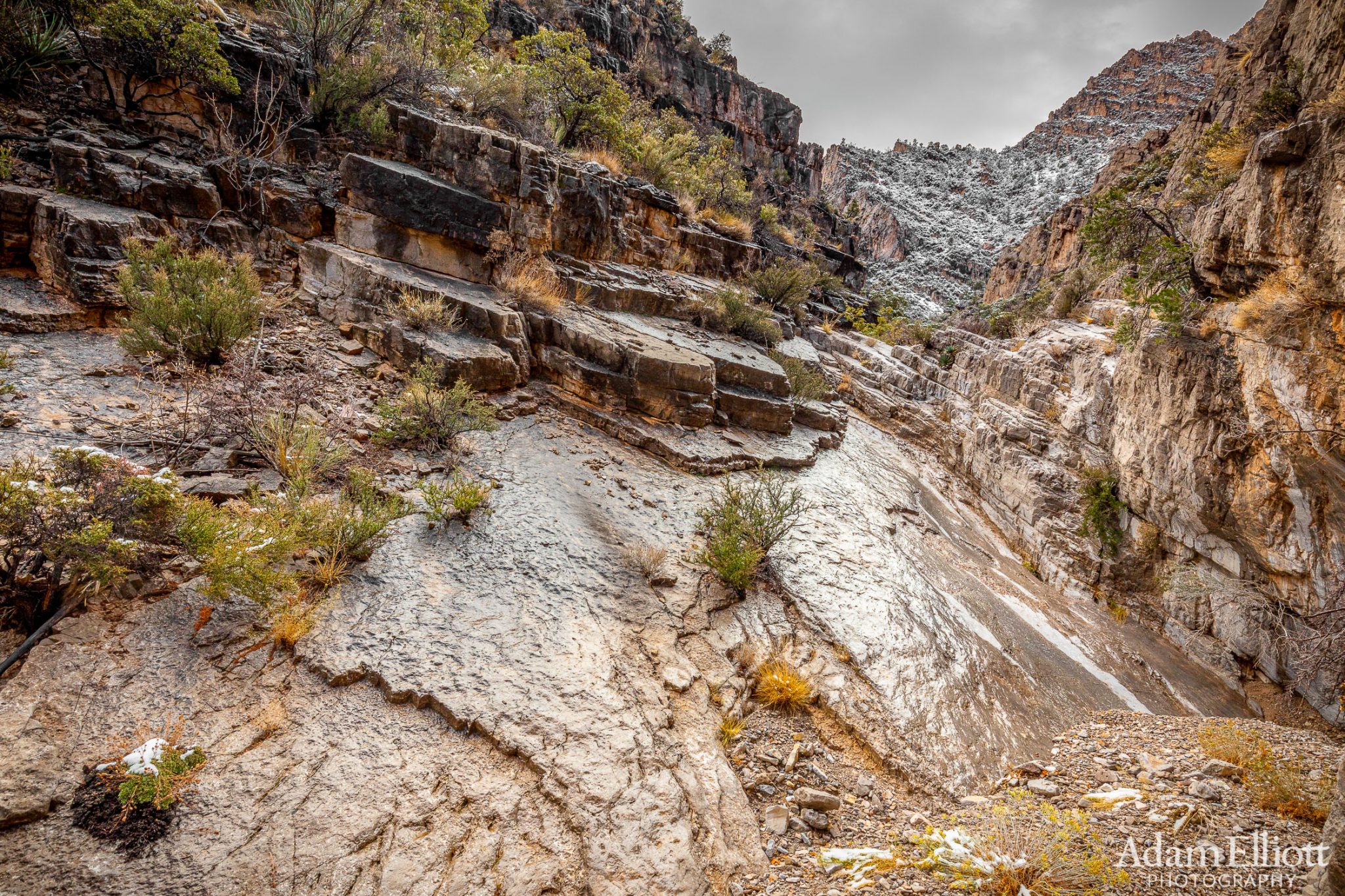
Yet another dryfall that was trickier than it looked but still passable.

Looking back down the falls.
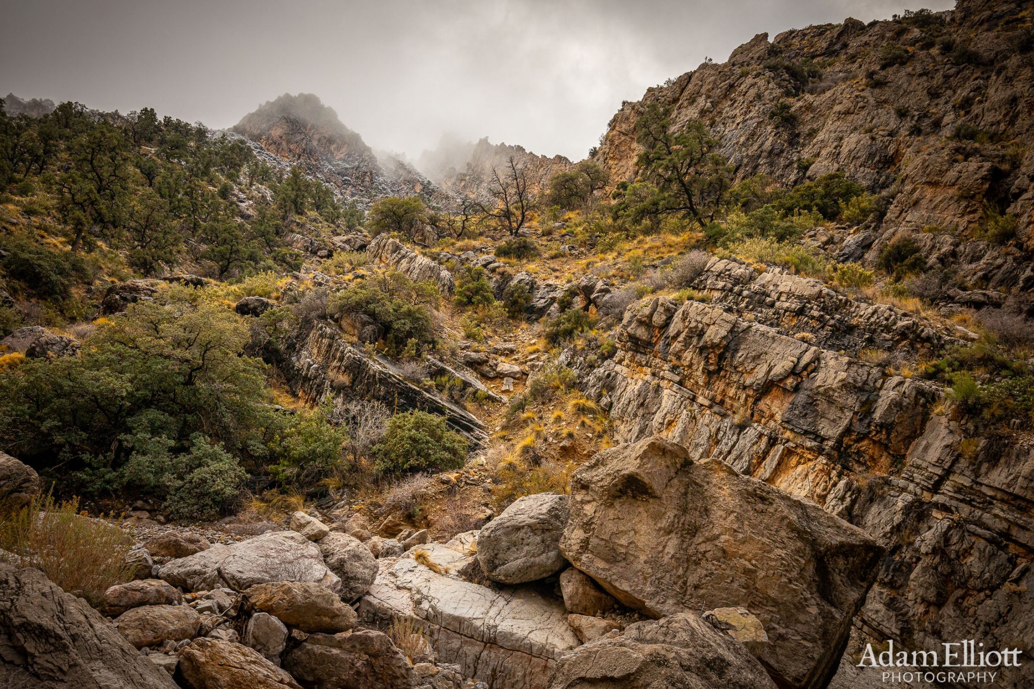
In the upper canyon watershed I had decided to take the westernmost route, which looked boring at first and possibly not good. But it was too foggy to see anywhere and I welcomed the temporary flatness. After a while though it started climbing and opening up again. It looked like if I wanted I could leave the canyon and go for the upper slopes of the mountain.
Getting onto some bedrock and very close to the snow.
Snow on the trees 100 yards ahead.
The bedrock was getting slippery with the snow melting.

The canyon had ended and it was gullies or open slopes to the top. This was almost as high as I went. The snow at this point was making my footing treacherous on the loose boulders but it t looks like the top of the canyon/mountain is totally reachable.
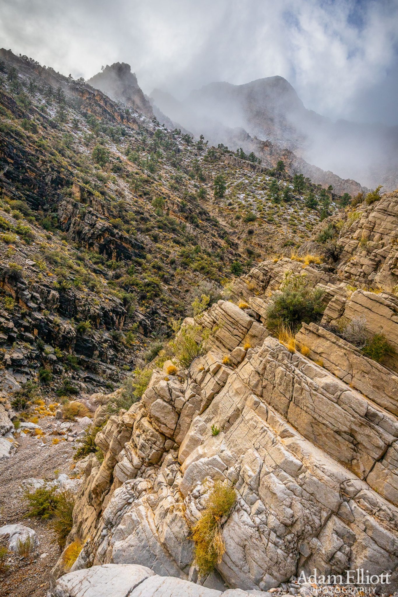
Heading back down canyon I started approaching the confluence of the upper canyons and the clouds were definitely lifting. I could see in this picture that had i taken the eastern most canyon it would have ended shortly in a dryfall at least 100 feet high.

The clouds continued to break up temporarily and almost-sunlight started melting the snow quickly off the trees.
The fog was still teasing me on the way down.